Home

Drones for spatial
Assessments
The velocity of urbanization necessitates observation platforms that not only enhance situational awareness for planning and allied analytical efforts, but also provide the ability to rapidly and inexpensively collect data and monitor change. UAVs can accomplish both of these tasks, but their use in urban environments is loaded with social, operational, regulatory and technical challenges that must be addressed for successful deployments. Accioland pionners as one of the fastest drone based consulting firm for spatial assessments More info
DRONES ARE CHANGING
THE WORLD!
“It's not a faith in technology. It's faith in people.”

Optimize your team with us and match the phase of the changing world.

We are Fast, Accurate, & Safe !!!
More info
GEOSPATIAL SERVICES Solutions that propel your company forward leveraging our geospatial expertise More info

Transmission Tower inspection & Asset mapping services

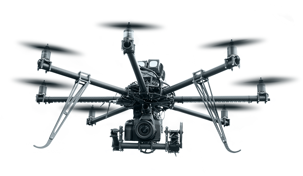
ASSET INTEGRITY AND CONDITION INSPECTION AND CONDITION ASSESSMENTS USING DRONES IS NOW AN ESSENTIAL TOOL FOR MONITORING POWER LINE AND TRANSMISSION AND DISTRIBUTION NETWORKS. CLICK ON THE LINK BELLOW TO DOWNLOAD THE INFORMATIVE DOCUMENT ABOUT TRANSMISSION TOWER INSPECTION & ASSET MAPPING SERVICE

We grow with our collaborations


We seek to build relationships with partners that extend beyond the life of a single project. Our focus is on collaboration. We believe that internal and external success comes through effective teamwork among staff, clients, funders and partners.